How to Label Crossing Alignments in AutoCAD Civil 3D

how to label crossing alignments in autocad Civil 3d

In this comprehensive guide, we’ll explore how to add a Label to Crossing Alignments with Profile Elevations in AutoCAD Civil 3D, demystifying this necessary tool for civil projects. Whether you’re a seasoned professional navigating complex infrastructure designs or a newcomer to the world of AutoCAD and more precisely Civil 3d, this step-by-step tutorial is tailored … Read more

How to Create Surface from Text in Civil3D (Also Assign Elevations to Text!)

Assign Elevation to Text Automatically Civil 3d

Often times we receive exported files from other surveyors that we need to use in our drawings. At this time, it is great that AutoCAD Civil 3D gives us the opportunity to Create a Surface from Text Objects. To illustrate better the task. We will look at an example where we have received a drawing … Read more

Profile View through COGO Points. (8 Simple Step Guide!)

We have already discussed, how to create Alignment Stations Through COGO Points! (Civil 3D Stations On COGO POINT!). Today we will continue the theme by setting up a Profile View to match Stations placed through COGO Points. We will continue with the previous example and set a Profile View through COGO Points. Create Surface Profile from … Read more

Alignment Stations Through COGO Points! (Civil 3D Stations On COGO POINT!)

Working as a Civil Engineer more particularly doing Road Design, Often I have to work on Road rehabilitation/Reconstruction Projects. When doing design for rehabilitation it is of great importance to use correct point elevations, in order to calculate more accurately Asphalt quantities. Usually, when surveying an Existing road we try to survey at 10-meter sections. … Read more

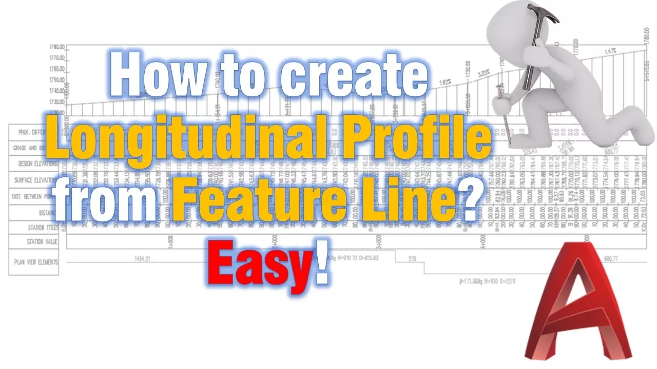
How to create Longitudinal Profile from Feature Line? Easy!

Surface profile from feature line

The Task! So what do we want to do? We want to create a longitudinal profile (Profile view and profile) from Feature line which we can use as a surface profile without having surface. In the example, we will create a feature through the New River Road and we will use the map’s elevations as a … Read more

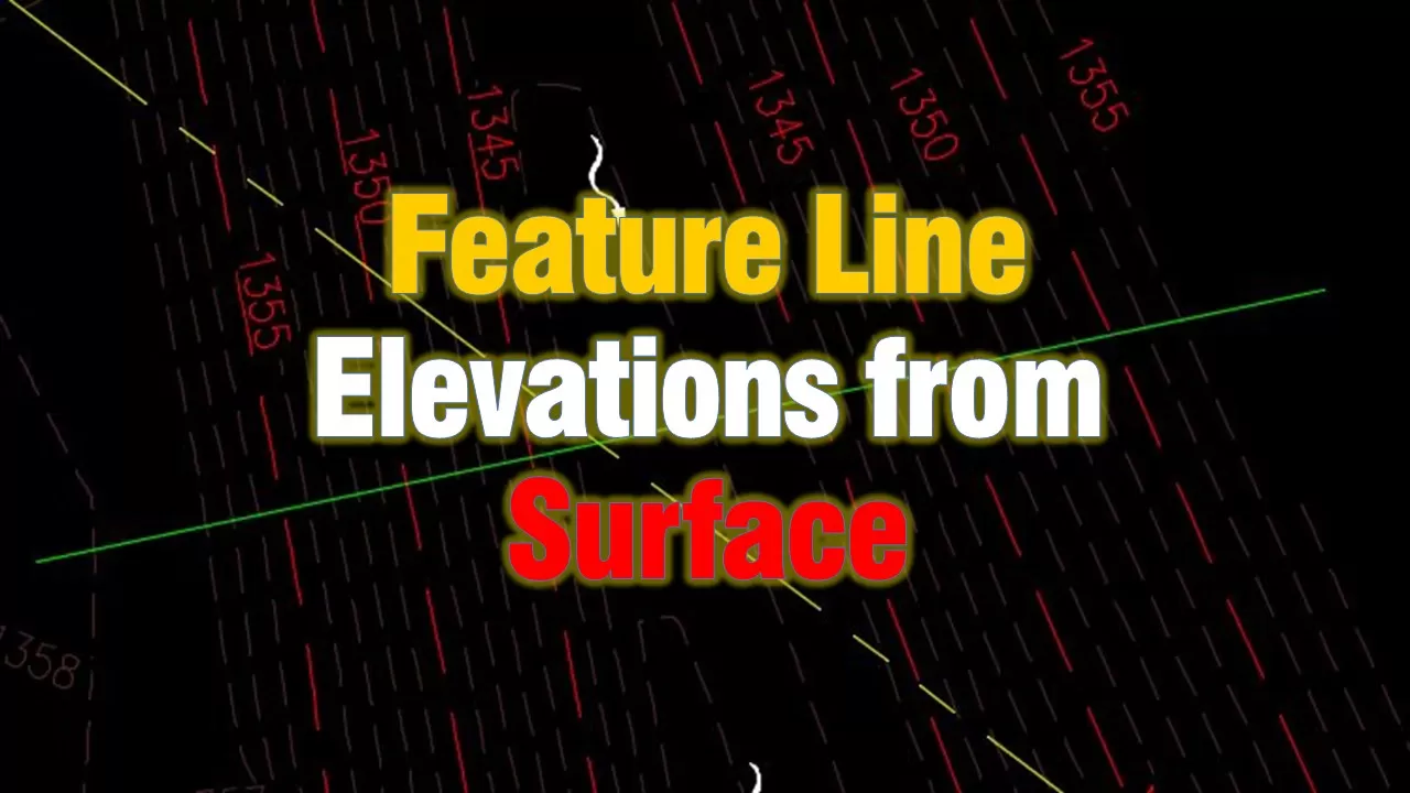
How to Assign Elevations to Feature line from Existing Surface.

Feature lines in AutoCAD Civil 3d are one of the most powerful objects in the software. They are very similar to normal 3d Polylines, but we have an extended number of tools to play with. Have you ever wondered how to quickly add elevations to a line/polyline/feature line automatically directly from a Surface? Surely I … Read more

.wp-container-core-social-links-layout-1.wp-container-core-social-links-layout-1{flex-wrap:nowrap;justify-content:flex-start}.wp-container-core-social-links-layout-2.wp-container-core-social-links-layout-2{flex-wrap:nowrap;justify-content:flex-start}