

What is AutoCAD Civil 3D?
AutoCAD Civil 3d is an engineering software application that is used by land surveyors, civil engineers, and other professionals to design civil engineering projects. These projects can include road design, parking area, river development, pipe design, construction area design, etc. Designers can create 3D models and maintain dynamic relations between the objects in the drawing such as Alignments, profiles, corridors, surfaces, feature lines, and many more. All those powerful features make C3D one of the most widely spread software for infrastructure projects.
How is it Used?
Using only AutoCAD for creating large or even small infrastructural projects will take years of drawing, planning, and calculating different data, but with Civil 3D we have built-in tools that help engineers to complete their projects in a fraction of that time. 
C3D can be used by Land Surveyors to plan and develop their survey, create dynamic surfaces, calculate earthworks, use point clouds, and many others.

Road designers would get tons of benefits from Civil 3d. The software is equipped with a wide range of infrastructural tools and an engineer can design and manage the entire project with it.
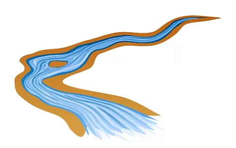
It is also very capable of hydro-engineering, having unique tools for designing pipe networks, river development, canals, etc. There are also many add-ons that can even further improve calculations and design.
AutoCAD Civil 3d Tips
- Use your own TEMPLATE! Create your own CAD standards!
- Create Polyline around the Outside of Multiple Objects!
- AutoCAD Points or Civil 3D COGO Points (What’s new?)
- Grip Issue Editing Polylines and Labels Civil 3d 2018!
- Show Only the Last Two Digits of Elevation Labels? Civil 3D
- Alignment Label Text Rotating? (One click solution!)
- How To Raise or Lower Multiple Feature Lines in Civil 3D
- How to Create Surface from Blocks in Civil3D (Also Assign Elevations to Blocks!)
- Surface Contours are Missing in AutoCAD Civil 3D (3 Possible Solutions!)
- When Moved the object Elevation Changes in AutoCAD?
- AutoCAD is running out of Memory (5 Quick Solutions!)
- How to Change Elevations of COGO Points in Civil3D
AutoCAD Civil 3d Guides
- Assign elevations to the Feature line from the existing surface.
- How to create Longitudinal Profile from Feature Line? Easy!
- Adding custom stations along Alignment in Civil 3D.
- Setting up Alignment and Sample Line Labels in Civil 3d
- Setting up Custom Station Labels for Profile View in Civil 3D
- Alignment Stations Through COGO Points! (Civil 3D Stations On COGO POINT!)
- Profile View through COGO Points. (8 Simple Step Guide!)
- How to Create Surface from Text in Civil3D (Also Assign Elevations to Text!)